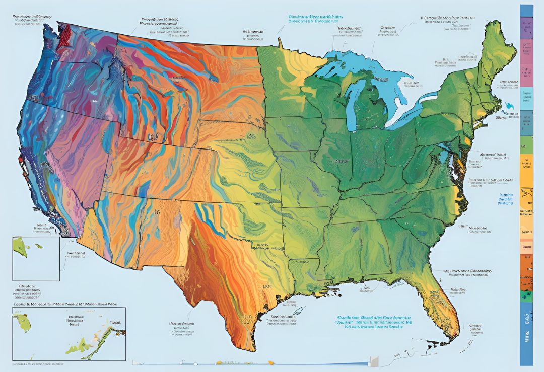
The United States experiences a vast array of weather conditions due to its expansive geography, diverse climates, and various regional influences. The nation’s weather patterns vary drastically from one region to another, from the rainy Pacific Northwest to the humid Southeastern states and the tornado-prone Great Plains. Understanding how seasonal changes impact different areas is crucial for everything from agriculture to travel planning.
In the Northeast, winters are often severe, characterized by heavy snowfall, freezing temperatures, and icy conditions. Cities like Boston, New York, and Philadelphia experience harsh winter storms known as Nor’easters, which can dump large amounts of snow and disrupt daily life. These storms typically occur between December and March, and the region sees a significant drop in temperatures during these months, often leading to frozen roads, power outages, and school closures.
As spring arrives in the Northeast, temperatures begin to rise gradually, and the snow melts, giving way to rain showers and blooming flowers. However, springtime can still be unpredictable, with late-season snowfalls occurring well into April. This transitional period also brings severe weather risks like thunderstorms and flooding, particularly in coastal and low-lying areas.
The Midwestern United States is another region with distinct weather patterns. Winters here are marked by bitter cold and snow, particularly in states like Minnesota, Illinois, and Ohio. The Great Lakes play a significant role in weather conditions, contributing to what is known as “lake-effect snow,” which can dump feet of snow on nearby cities like Chicago and Cleveland. These snowstorms can be highly localized, affecting specific areas while leaving others relatively unscathed.
Springtime in the Midwest is tornado season. States such as Kansas, Oklahoma, and Nebraska make up what is known as Tornado Alley, where warm, moist air from the Gulf of Mexico clashes with cool, dry air from the Rockies, leading to powerful thunderstorms and tornadoes. The peak tornado season typically runs from April to June, though tornadoes can occur at any time of year. Spring in this region is often unpredictable, with drastic shifts in temperature and weather patterns occurring within a single day.
 Moving south to the Southeastern United States, the weather becomes warmer and more humid as we approach summer. States like Florida, Georgia, and Alabama experience mild winters with occasional cold snaps, but spring and summer are characterized by high humidity, frequent thunderstorms, and the onset of hurricane season. The Gulf Coast, in particular, is vulnerable to tropical storms and hurricanes from June to November, with peak activity occurring in August and September.
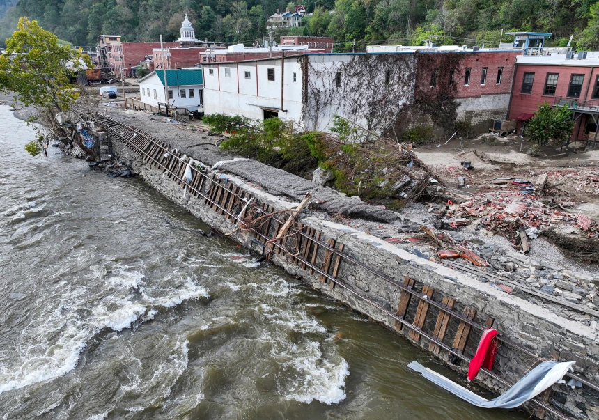
Hurricanes are a significant concern for the Southeastern states, as these powerful storms can cause devastating flooding, wind damage, and storm surges. Coastal areas are especially at risk, and residents often have to evacuate or prepare extensively when a hurricane is forecasted. The 2020 hurricane season, for example, was one of the most active on record, with numerous storms making landfall in the U.S.
The Pacific Northwest, known for its lush forests and abundant rainfall, experiences relatively mild winters compared to other parts of the country. Cities like Seattle and Portland rarely see heavy snowfall but are often drenched in rain during the fall and winter months. The region is also prone to periods of extended cloud cover, contributing to its reputation for being gray and dreary during the colder months. However, the Pacific Northwest’s weather is not without its challenges; the area can experience severe storms, particularly along the coast, as well as occasional wildfires in the drier summer months.
Summers in the Pacific Northwest are generally pleasant, with temperatures rarely exceeding 90 degrees Fahrenheit. However, the region has seen an increase in heatwaves in recent years due to climate change, leading to hotter, drier summers. This shift has also contributed to an uptick in wildfires, especially in Oregon and Washington, where dry conditions and strong winds can create the perfect environment for fires to spread quickly.
The Southwestern United States, including states like Arizona, New Mexico, and Southern California, is known for its hot, arid climate. Summers in this region can be brutal, with temperatures regularly exceeding 100 degrees Fahrenheit in cities like Phoenix and Las Vegas. This extreme heat can be dangerous, especially for vulnerable populations, and the region often issues heat advisories during the hottest months. Monsoon season in the Southwest typically runs from July to September, bringing short but intense rainstorms that can cause flash flooding in desert areas.
Meanwhile, the Rocky Mountain region, encompassing states like Colorado, Wyoming, and Montana, experiences significant seasonal shifts. Winters here are cold and snowy, especially at higher elevations, where ski resorts thrive. Summers are typically mild in the mountains, though lower-elevation areas can still experience hot temperatures.
In contrast, California, especially the southern portion of the state, is prone to year-round mild temperatures. However, the state faces severe drought conditions, especially in the summer months, which, coupled with hot, dry winds, often leads to devastating wildfires.
From the unpredictable, storm-prone Midwest to the sweltering heat of the Southwest, weather patterns in the U.S. are as diverse as the country itself. Understanding these regional differences is essential for staying prepared for whatever Mother Nature brings next.


